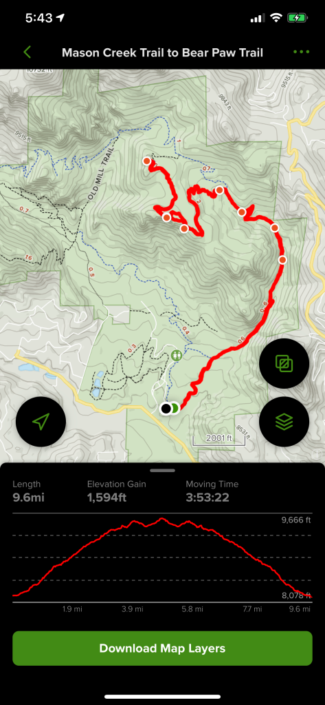
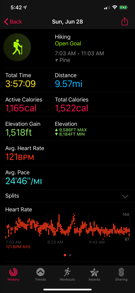
Those of you who have read a few of my posts are probably starting to notice a theme that the hikes that I choose tend to have some sort of a view as a payoff for your hard work. The trail I decided on this week was another one that I chose for exactly this reason. There were a total of 3 overlooks along the way that each offered amazing views. This was another heavily trafficked trail, so I knew to get there as early as I could.
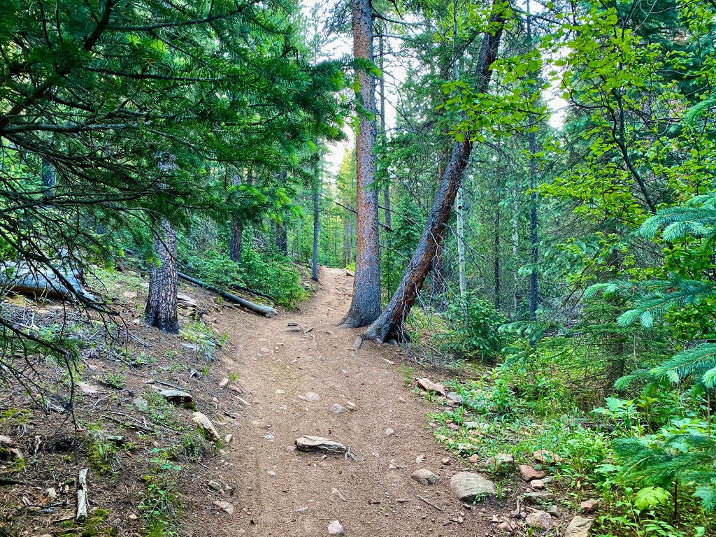
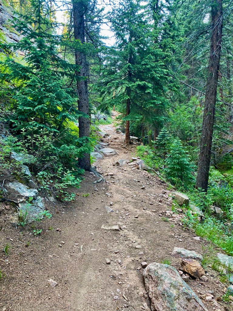
I arrived at Staunton State Park and paid the state park daily fee, appreciative that they had an option to pay with a card for those that may not carry cash. I navigated my way to the Mason Creek trailhead a short distance from the entrance of the park and made it to the parking lot at around 6:45, greeted by only three other cars. I held out hope that this “heavily trafficked” trail would turn out to be less so today. When I started, it was immediately obvious that I was in a state park, with the trail in immaculately maintained condition.
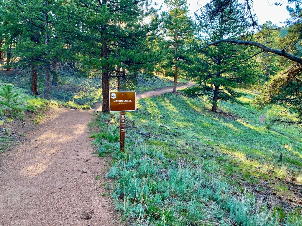
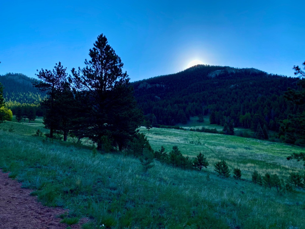
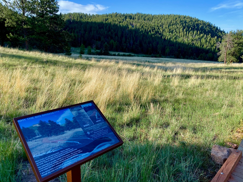
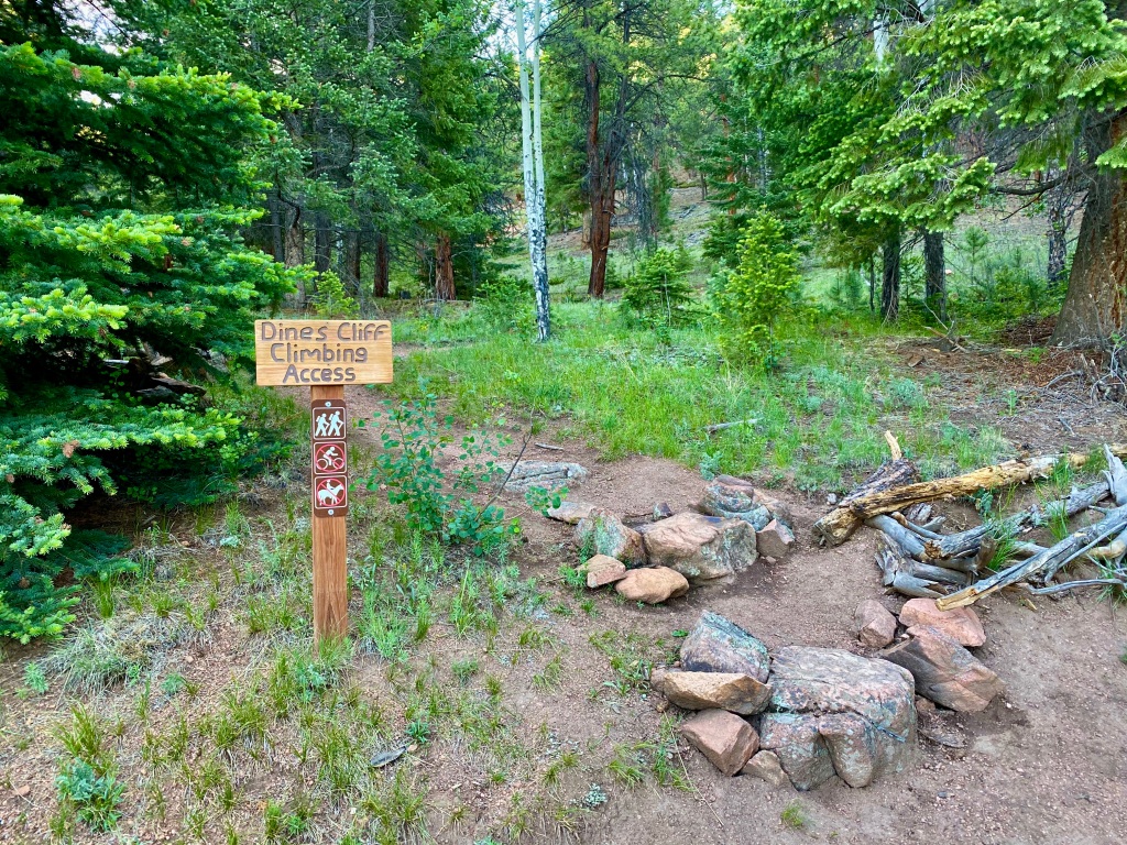
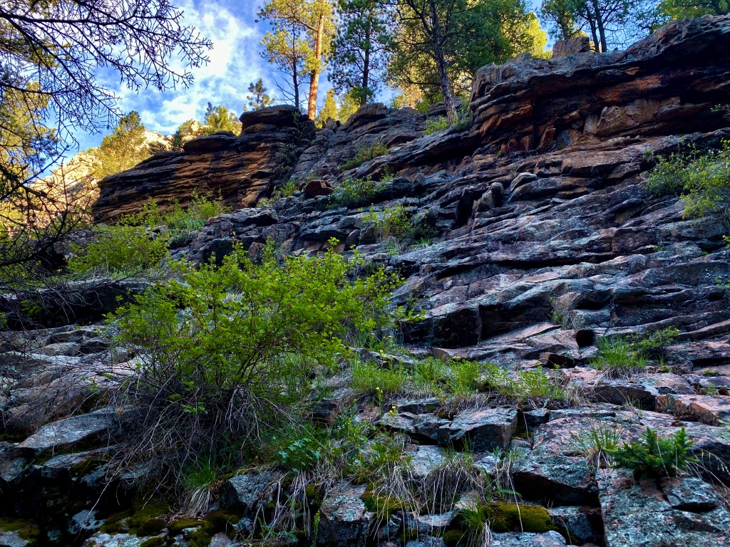
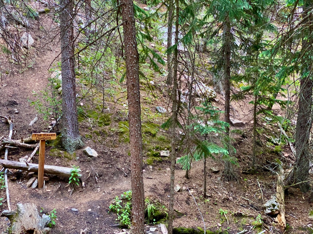
The trail starts out in a meadow setting before quickly turning to thicker forest, with Mason Creek along your right side. It was chilly again this morning and I tried to find the sun where I could. There were a couple areas off the trail and along the creek with benches constructed, which would be nice to read, write, or simply just meditate with the sound of the flowing water constantly next to you. There were also a couple of designated rock climbing areas right along the trail. Maybe one day I’ll come back and give that a try!
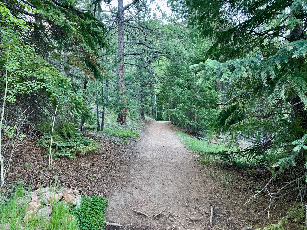
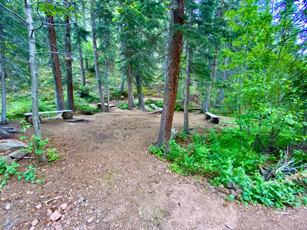

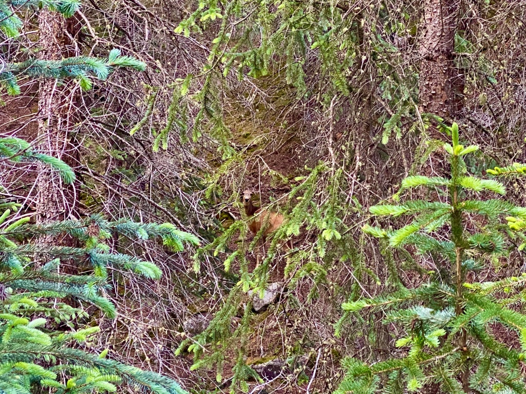
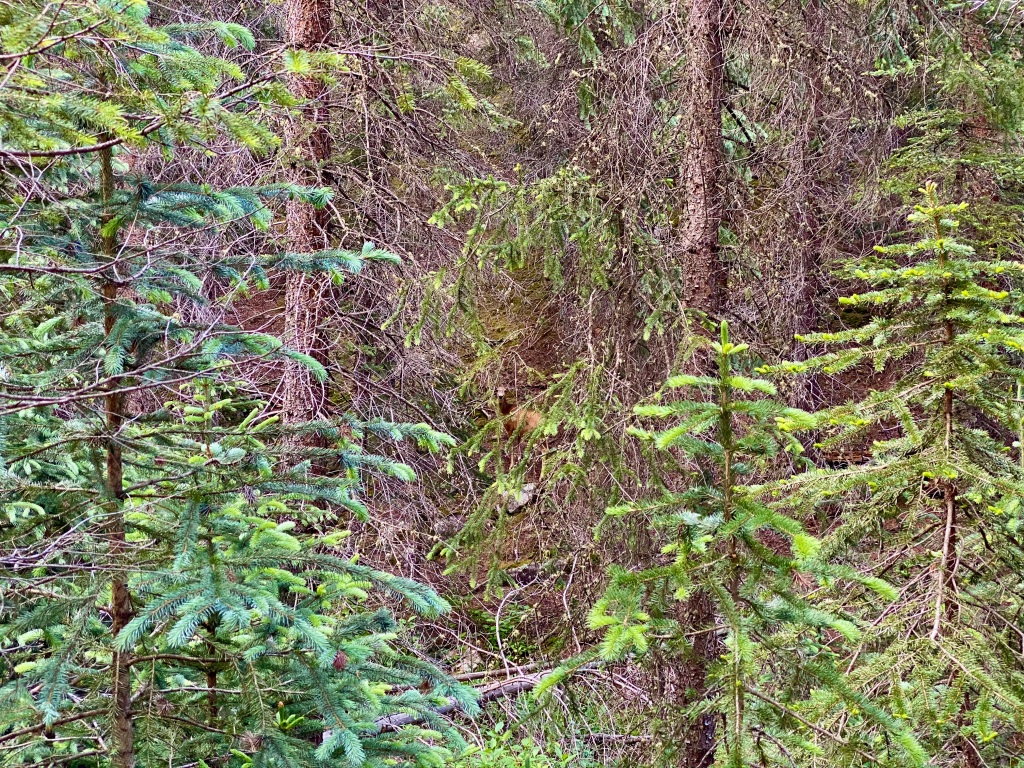
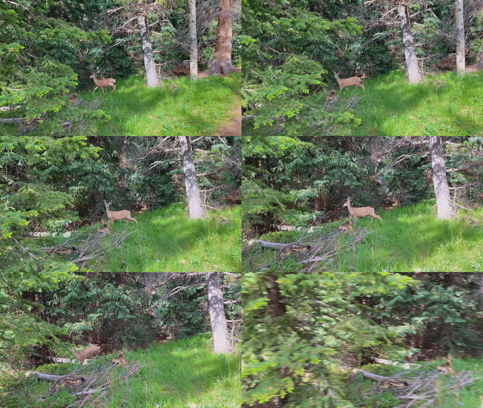
I had a few different wildlife encounters during this stretch of the hike. First, I was startled by a deer that I could hear running alongside me, but he was hard to find.
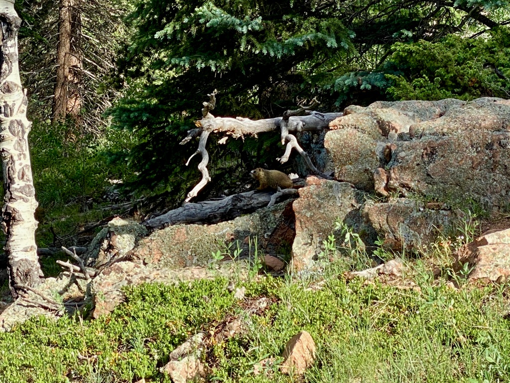
Next, I ran into a marmot who had his eye on me and definitely didn’t want me getting too close. I snapped a few shots from a distance before continuing on, with the little guy scampering off somewhere too.
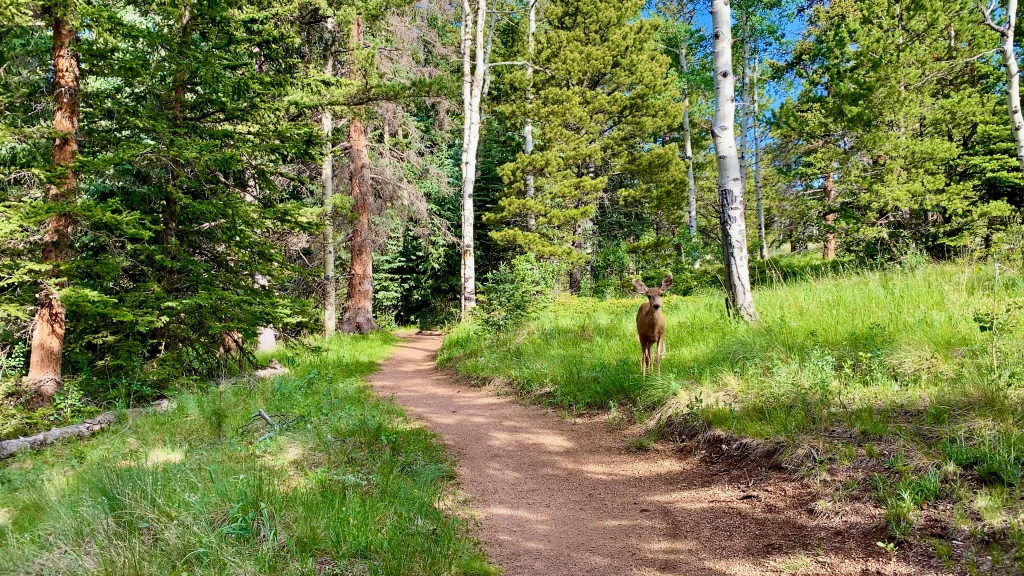
I ran into another couple of deer right on the trail, and I wasn’t sure if the first one was going to let me pass or not! It was amazing getting so up close to them, and the second one even gave me a little leap as he hurried on to find a quieter place to graze.
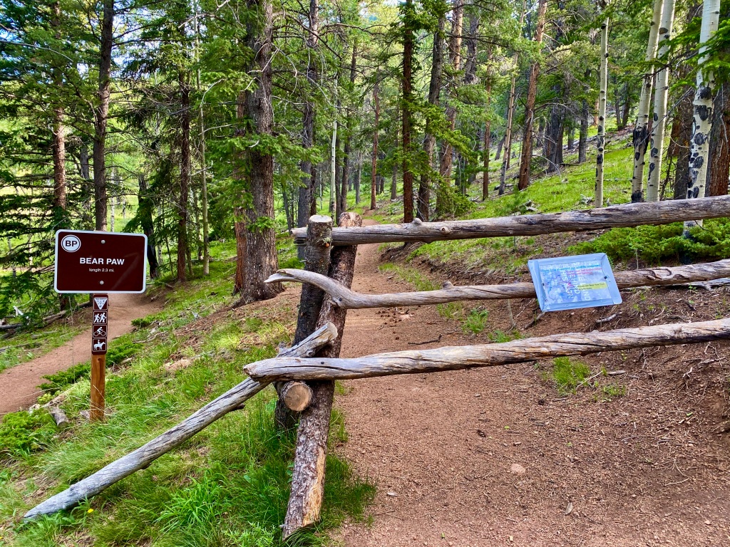
It wasn’t until you got a few peeks at the surrounding cliff sides that you could tell you were making some progress, although my heavy breathing and heart rate might beg to differ. I reached the detour on the Mason Creek trail that forces you onto the Bear Paw trail, but honestly, this is the hike I wanted to do anyways, as this took me to the various outlooks.
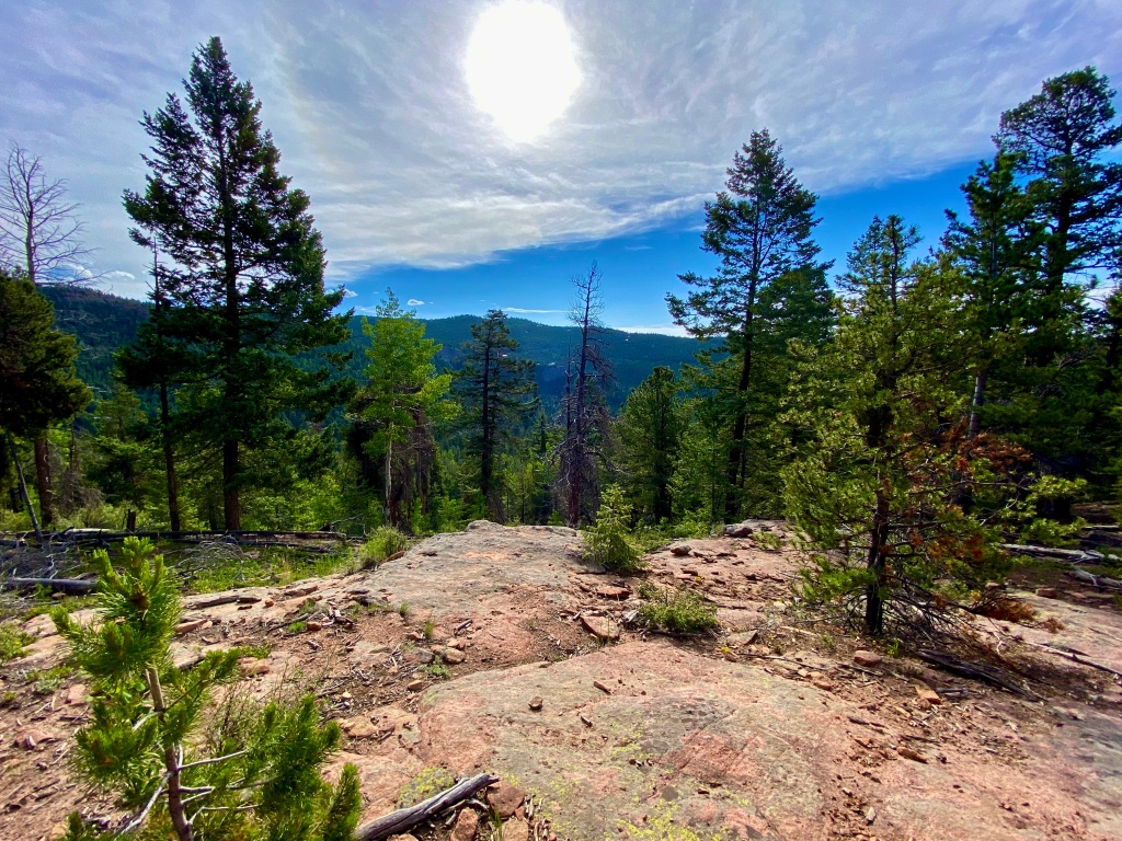
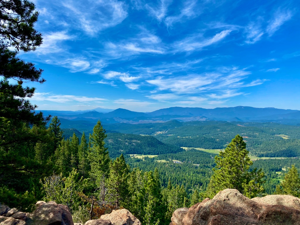
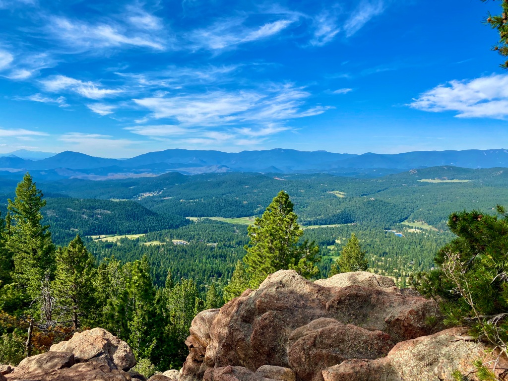
The first one that I reached was the Catamount Outlook, and the views certainly didn’t disappoint! You had a wide view of the surrounding low lying areas, and the taller peaks further in the distance. It was a great place to sit and reflect, but after a couple other groups of people came through, I realized that the crowds were hot on my heels and this wouldn’t be a peaceful place to rest for long. It was time to continue to the next outlook, the Pike’s Peak Outlook.
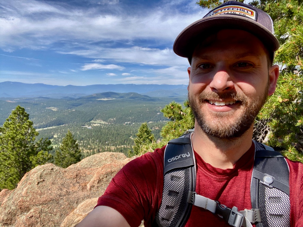
On the way to the next outlook, you’re faced with a choice – you can either go the “technical terrain” route, or take the “bypass”. I’m not one to usually choose the route that takes me closer to the edge of the cliff, but I had to find out what “technical terrain” meant. Was I going to have to rock climb to get there? I could always turn around, so I made my choice to see what this route held in store for me.
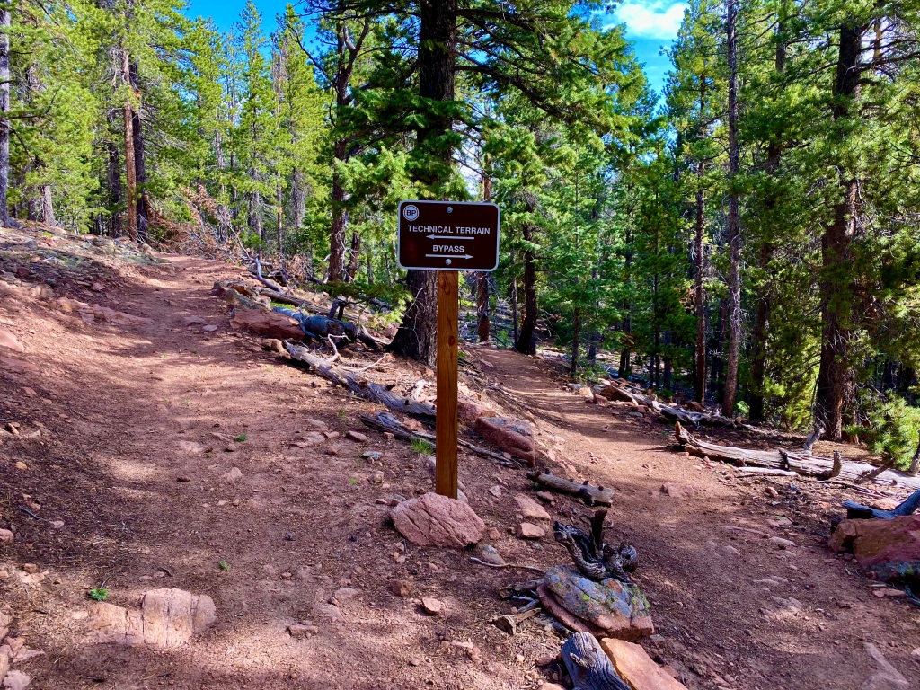
Honestly, I wouldn’t classify it as technical terrain per se, but I think the sign and the two routes are really there to warn bikers not to go left. Hiking, though, it wasn’t any more difficult than the rest of the trail, just a little closer to the edge and a little more rocky. Since the detour won’t allow you to do the full loop right now, I’d recommend taking one route on the way there, and the other route on the way back like I did. Neither is more challenging than the other, but it offers two different views so the trip back isn’t the exact same.
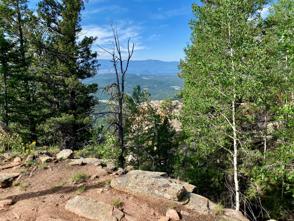
The Pike’s Peak Outlook comes into view much the same as the Catamount, emerging on your left side just off the trail. The views from this outlook were just as spectacular, and I took the opportunity to snap a few more pictures of the beautiful landscape in front of me.
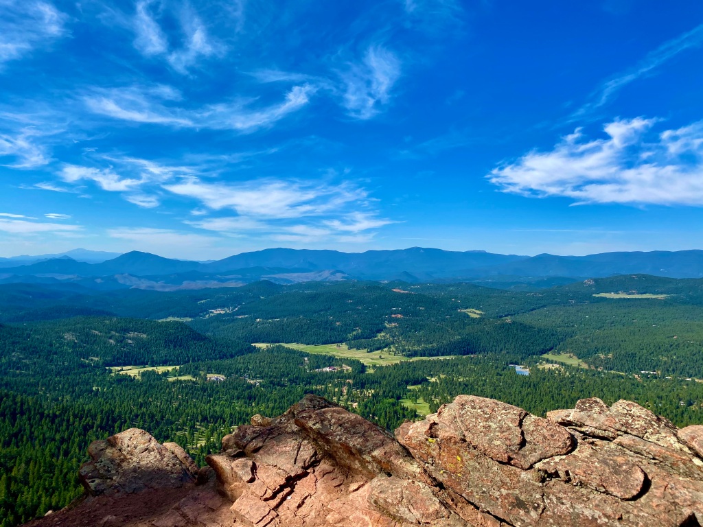
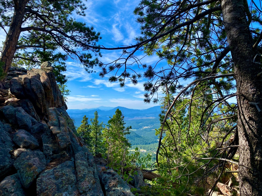
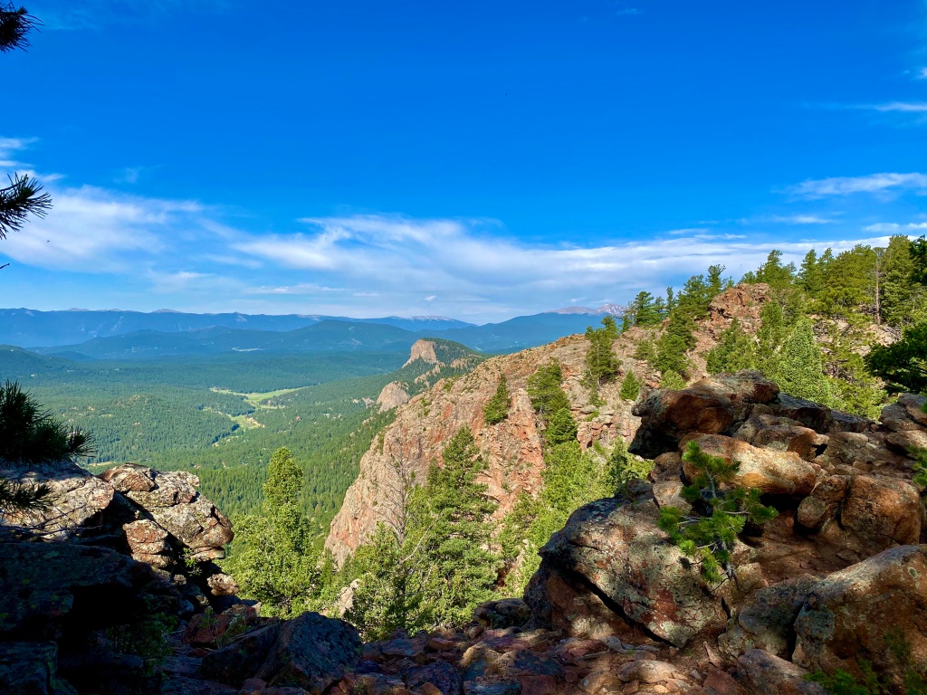
There was one more outlook remaining, the Eagle Cliffs Outlook, and it was a bit more of a trek. The trail was in insanely good shape throughout the entire hike, and it made it very enjoyable. Not having to constantly look down for fear of tripping or twisting an ankle on a rock allows you to look around at the scenery around you for a change.
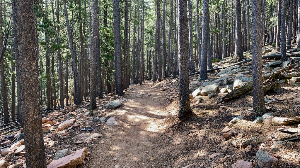
I reached the Eagle Cliffs Outlook, and it was honestly a lot more daunting than the other two. It was a bit of a scramble up to the outlook, and my legs were already feeling tired. I decided that I was okay passing on scrambling up all the way to the top on this one, though I’m sure the views are outstanding as well.
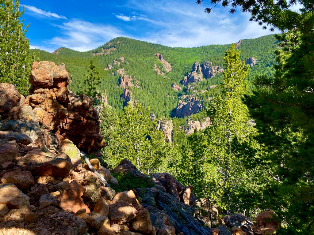
I was 4.7 miles into my journey at this point, and I knew that I had pretty much the same hike ahead of me going back, though at least this direction it was almost all downhill. It was time for me to turn around and start heading back. As soon as I reversed course, I was hit in the face with the heavy traffic that I was warned about, but honestly, with the trail as nice and as wide as it was, it made passing easy and I never minded the people. You may have to pay to get into the state park, but the benefits were obvious all day long.
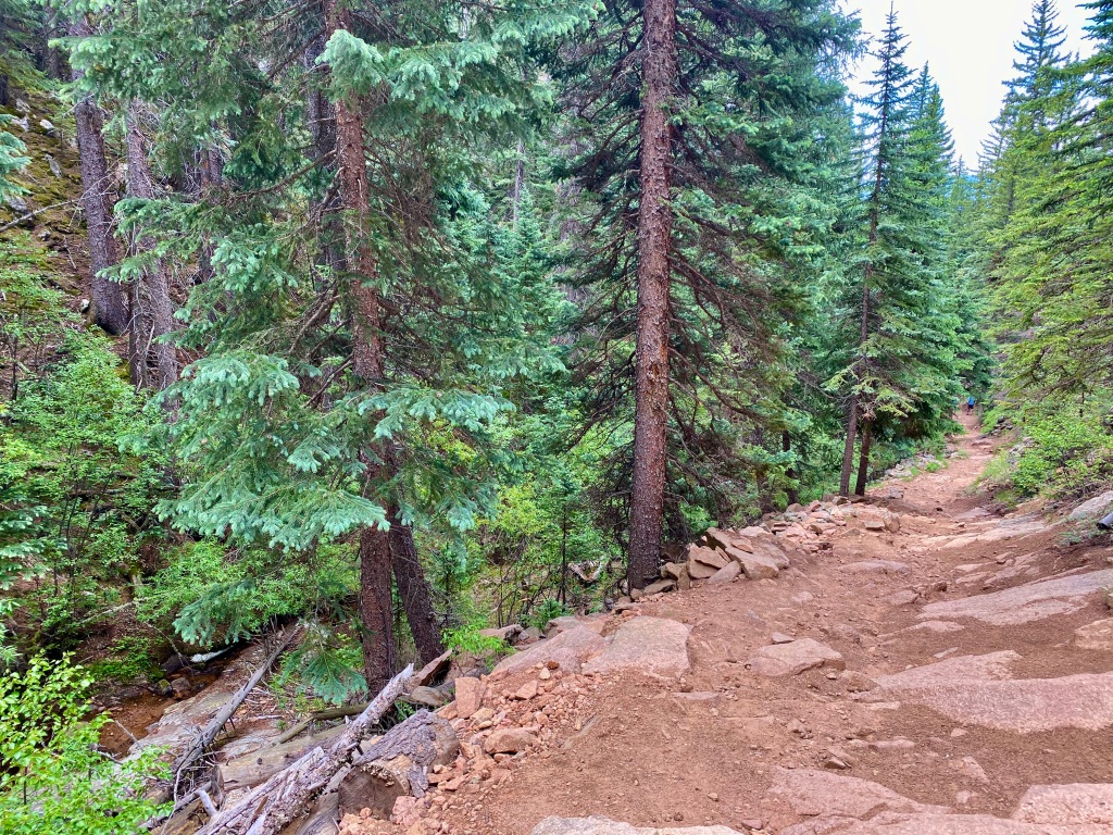
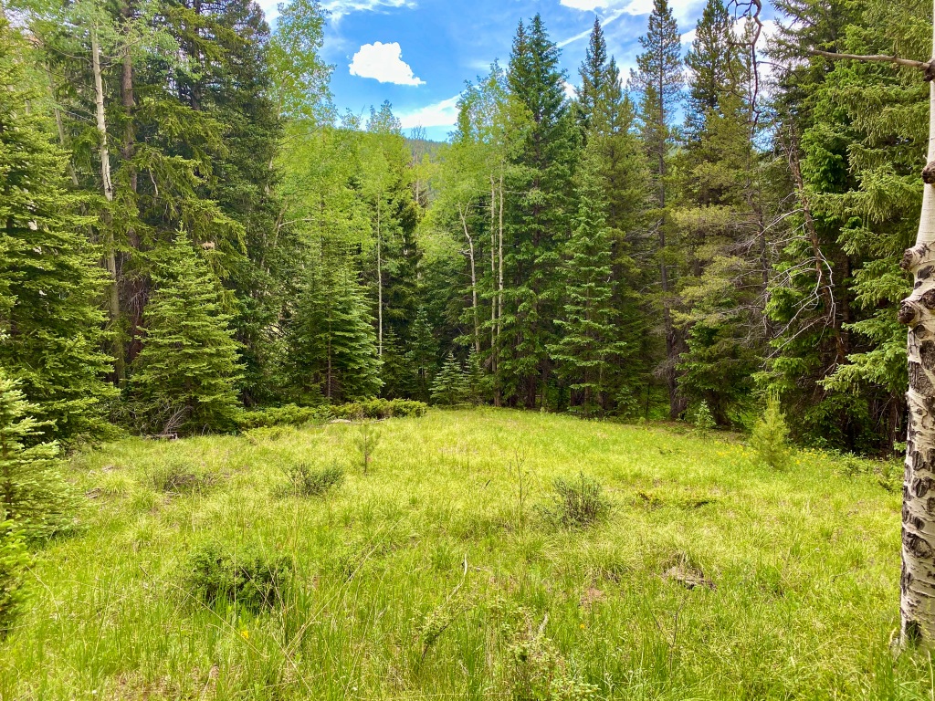
The return trip was fairly uneventful, with group after group of people almost certainly scaring off any more wildlife that might’ve been close to the trail. I enjoyed the wildflowers along the trail and the sounds of the birds chirping, while getting in a good workout. I would highly recommend this trail not only because of the wildlife encounters early in the morning, but also the well-maintained trail and the easily accessed scenic overlooks. Another successful Sunday!
